Kyle Kasparek
Geospatial Professional | FAA Part 107 Remote Pilot
My background is in Geographic Information Systems (GIS), which I studied at Central Washington University as part of a broader interest in geology, natural hazards, and mapping. I graduated in 2021 and began my GIS career shortly afterward, first as a GIS Intern with the City of Wenatchee and later with Franklin County.
Over the past few years, I've worked on a variety of GIS projects involving cartography, web mapping, field data collection, data management, and spatial analysis. Some of those projects are showcased throughout this website.
In 2026, I earned my FAA Part 107 Remote Pilot Certificate, which opened the door to combining drone operations with GIS work. This website covers both sides of that: GIS education and career experience alongside independent projects, research, and more recent aerial imagery work.
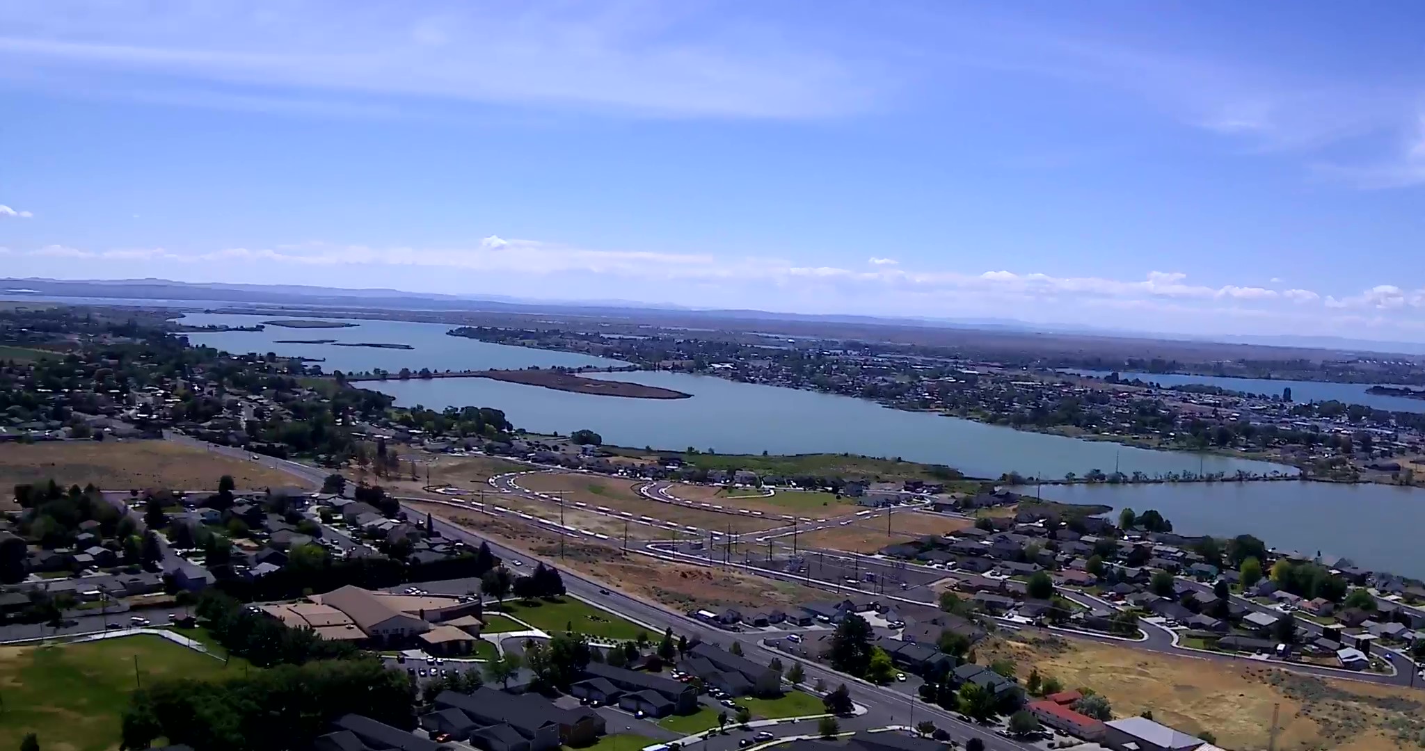
Aerial & UAS
A collection of aerial photographs, drone imagery, and other projects completed since earning my FAA Part 107 certificate.
View PortfolioGIS & Mapping
Examples of GIS work from Central Washington University, the City of Wenatchee, Franklin County, and independent projects.
Explore ProjectsK1 Aerial, UAS & Geospatial
FAA Part 107 drone services, aerial imagery, and GIS consulting serving Central & Eastern Washington.
Learn MoreRecent Developments
- FAA Part 107 Remote Pilot Certificate (2026)
- Engineering Technician / GIS - Franklin County (2022-2024)
About This Site
This website has evolved quite a bit since it was first created. It originally began as a way to document projects from my time at Central Washington University and later expanded to include professional work from my GIS career. More recently, aerial imagery and drone-related projects have been added to the mix, and the site will continue to grow alongside those efforts.